
Credits
Photo credits
The pictures we did not take ourselves, with who made them and the license each one carries. Course aerials and flyovers are ours, built from public-domain imagery.
We only use photographs that are public domain, CC0, CC BY or CC BY-SA, and we check the license on the source page before a picture goes on the site. Where a license asks for a credit, it is printed on the picture or here. Spot a mistake or want a picture removed? Tell us and we will fix it.
Photographs

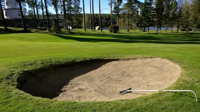
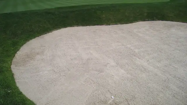
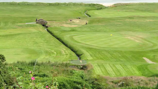
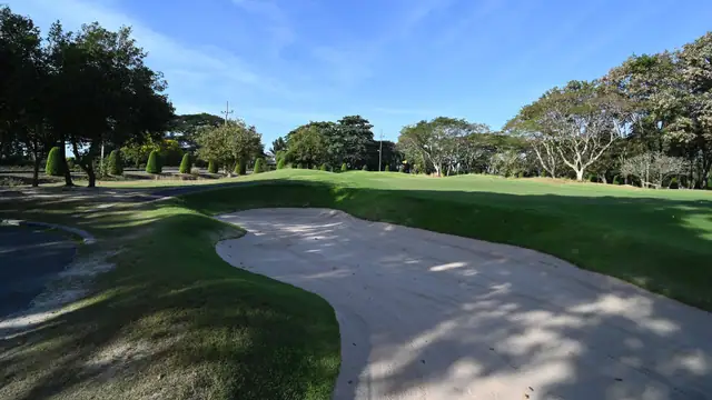
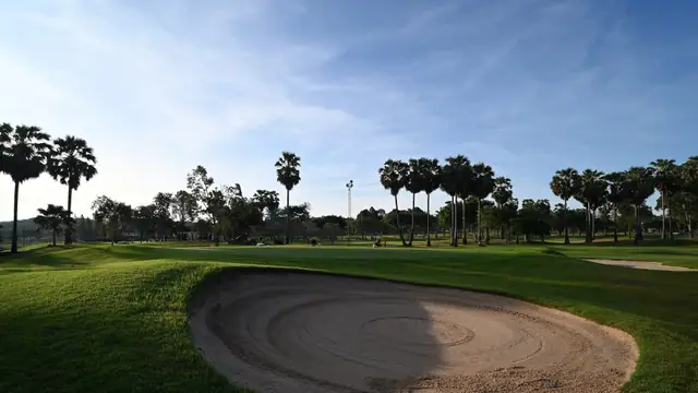
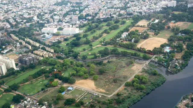
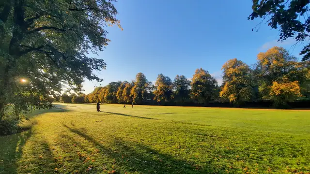
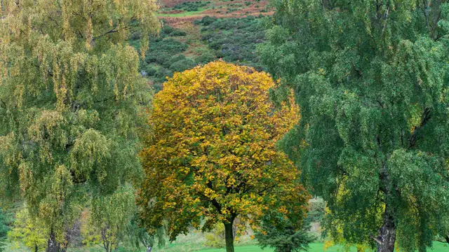
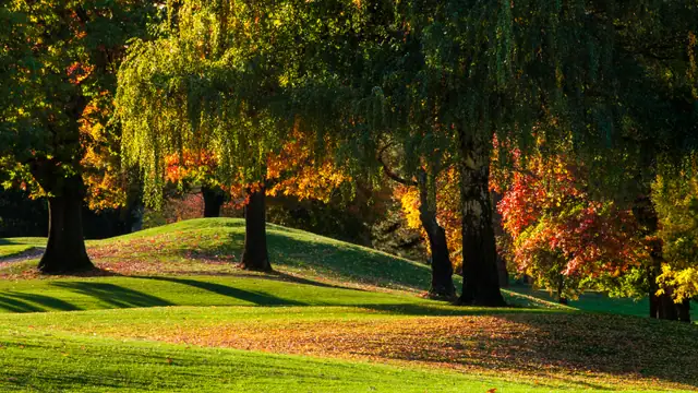
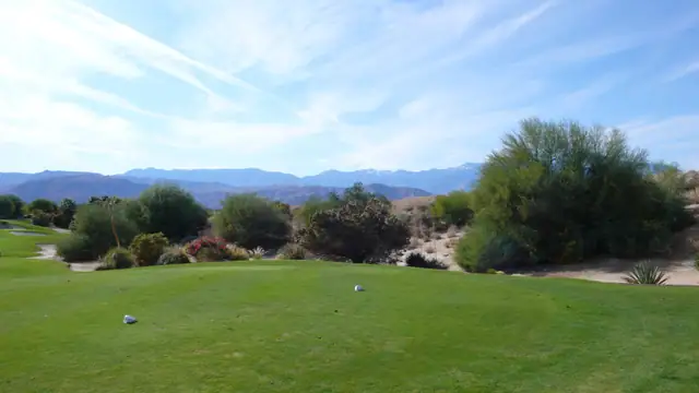
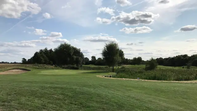
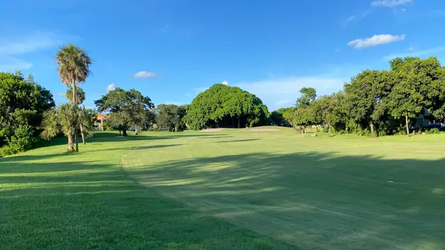
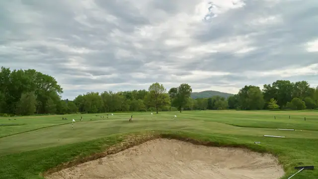
Stockbridge Golf Club sand trap
Carol M. Highsmith
Public domain (Library of Congress, Highsmith Archive)Source
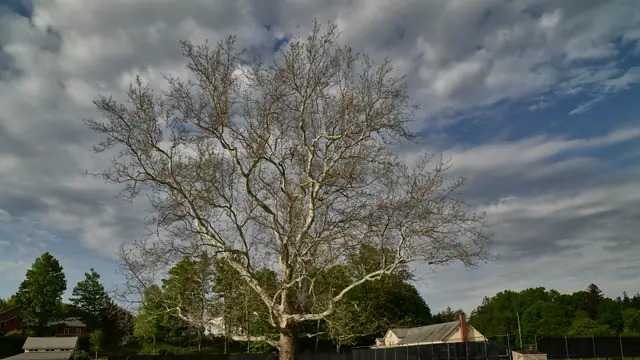
Stockbridge Golf Club grounds
Carol M. Highsmith
Public domain (Library of Congress, Highsmith Archive)Source


Our own renders and imagery
Flyover still: Bob O'Connor Golf Course
Flyover render by ParHard. USDA NAIP via USGS The National Map. Public domain.
ParHard render of public-domain USDA NAIP imagery and USGS 3DEP terrain · Source
Flyover still: Chambers Bay
Flyover render by ParHard. USDA NAIP via USGS The National Map. Public domain.
ParHard render of public-domain USDA NAIP imagery and USGS 3DEP terrain · Source
Flyover still: Mangrove Bay
Flyover render by ParHard. USDA NAIP via USGS The National Map. Public domain.
ParHard render of public-domain USDA NAIP imagery and USGS 3DEP terrain · Source
Course aerial crops
USDA NAIP via USGS The National Map. Public domain.
Map overlays
Map data © OpenStreetMap contributors, ODbL. Show this wherever an OSM-derived overlay appears.
More on map and aerial sources is on Data attribution.